Arquitecturas de detección sin cámaras
Mobility and Traffic Management Contactless Interaction

Camera-Free Radar and LiDAR Solutions for B2B Projects

We design radar and LiDAR architectures for projects where privacy, environmental robustness, data integration, and operational viability matter more than image capture.

Detection architectures validated in critical projects and backed by strategic partners

Texas Instruments Registered Partner Cegeka Inventeers Pamplona City Council Certificación CE
Application Areas

Solutions Built Around Real Operational Challenges

Select the use case that matches your project to explore reference architectures and technical decision criteria.

Sensor LiDAR para superficies interactivas sin contacto en museo
Interaction

Interactive wall without touch screen

Museums · Retail · Signage · Public Spaces

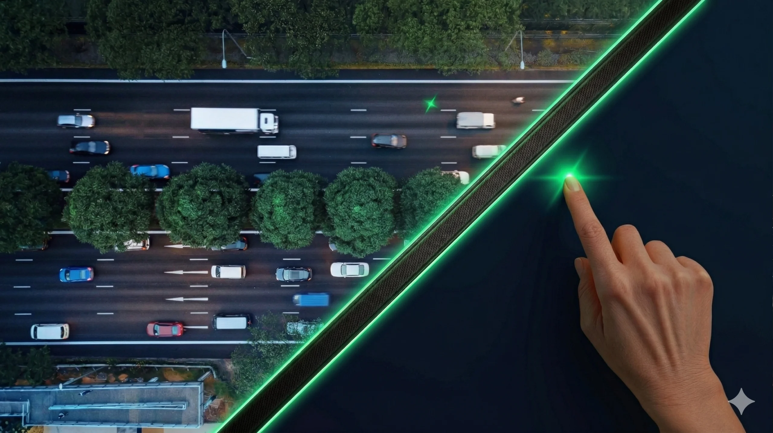
Solutions based on external sensors, projection, and software for museums, retail, education, and public spaces where large format, durability, and privacy matter.

Large-Format Multi-Touch Interaction
Lower Wear Than a Touchscreen
Integration with CMS and Interactive Software
Explore Interactive Wall Solutions
Sensor radar para aforo y clasificación vehicular sin cámaras en entorno urbano
Mobility

Camera-Free Traffic Monitoring with Radar for Smart Cities

Smart Cities · Traffic Engineers · Public Sector

Radar sensors for vehicle counting, speed measurement, and traffic classification without relying on image capture or visibility conditions. Continuous data in rain, fog, or at night.

Continuous Counting and Speed Measurement in Rain, Fog, or at Night
GDPR-Friendly Operation: No Image Processing in Public Spaces
Data Output for Mobility Platforms and APIs
Explore Mobility and Traffic Solutions
Environmental Constraints

When Your Project Needs Alternatives to Computer Vision

Detection Under Strict Privacy Requirements (GDPR) Local regulations or internal policies require detection without storing biometric data or capturing real images of people.
24/7 Operation in Challenging Outdoor Environments Cameras lose reliability in rain, fog, glare, or low-light conditions, creating unacceptable gaps in the data.
Interaction in High-Usage Environments Information points or interactive experiences where physical wear and ongoing maintenance affect long-term viability.
Direct Integration with Third-Party Platforms The sensor must deliver clean structured data to the existing infrastructure through MQTT, REST, open formats, or Smart City protocols.
Technology Alternatives

Radar, LiDAR, or Cameras: A Quick Comparison

Key Criterion Cameras (Computer Vision) Radar (Microwave) LiDAR (Laser)
Privacy / Image-Free Detection
Outdoor Performance in Harsh Weather
Spatial Precision and Detailed Classification
Integration with APIs and External Data
Our Process

How We Evaluate Projects with Engineering Firms and System Integrators

A consultative approach built around real constraints: environment, regulations, existing integrations, and validation criteria before the pilot phase.

1
Project Constraints Analysis We review the installation environment, applicable regulations (GDPR), detection distances, environmental conditions, and connectivity limitations.
2
Evidence-Based Technical Recommendation We assess radar, LiDAR, or a hybrid approach based on your requirements. We explain what fits, why it fits, and which limitations to expect in real operating conditions.
3
Integration and Data Architecture We define output formats such as MQTT, REST, and CSV, along with compatibility requirements for your data platform and communication protocols.
4
Pilot Validation Criteria We propose success metrics, test conditions, minimum duration, and acceptance criteria before scaling the deployment.
Frequently asked questions

Common Questions About Our Solutions

Which detection technologies do you primarily use?
We design architectures primarily based on radar (microwave) and LiDAR (laser pulse) sensors. We deliberately avoid computer vision cameras in order to prioritize GDPR-friendly architectures with no image capture and strong performance in demanding environmental conditions.
When should I choose radar or LiDAR instead of a camera-based solution?
You should consider radar or LiDAR when your project is constrained by privacy requirements, when outdoor conditions reduce visual accuracy, or when you want to significantly lower long-term optical maintenance costs.
How do you evaluate a project before launching a pilot?
We run a technical assessment to review the target detection range, physical obstacles, integration requirements such as APIs and Smart City platforms, and the expected system behavior. If our sensors are not the right fit for your use case, we will tell you directly before you invest time or resources in a pilot.
Direct Technical Consultation

Need to Define the Right Detection Architecture for Your Project?

A technical specialist will review your project constraints and reply with practical guidance on architecture, feasibility, and next steps. No generic sales pitch. Response within 48 hours.

1
Describe What You Need to Detect and Where Tell us about the environment, operating conditions, detection distances, and any privacy or integration constraints.
2
Initial Technical Feasibility Assessment We assess which technology fits best and what limitations to expect in your specific context.
3
Architecture Criteria and Next Steps Guidance on integration, deployment, validation, and pilot success metrics.
Technical Assessment

Describe Your Detection Project

We review constraints, environment, and integration requirements, then respond with concrete technical guidance.